Every province and territory on the map.
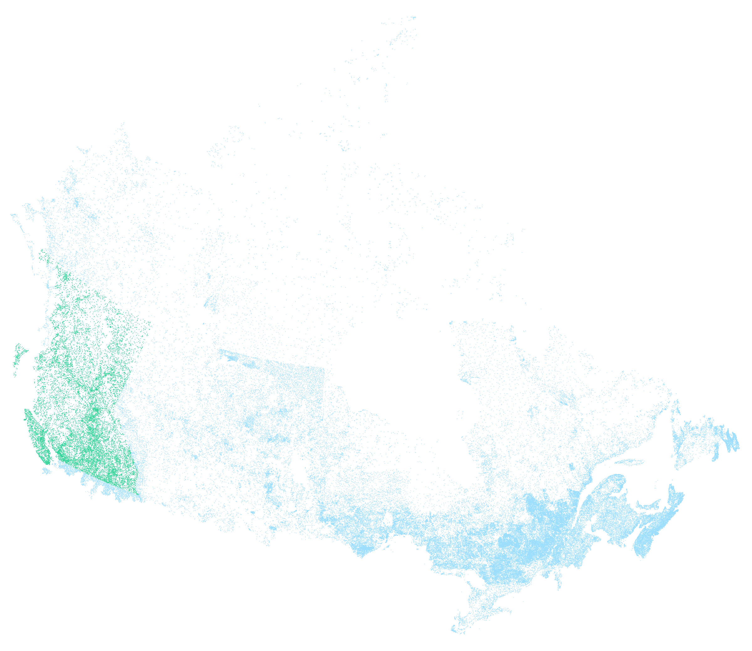
Coverage
| Province or territory | Waters on the map | Regulations | ||
|---|---|---|---|---|
| Freshwater | Salmon | Tidal waters | ||
| British Columbia | 21,670 | Live | Live | Live |
| Quebec | 51,775 | |||
| Ontario | 34,171 | Coming soon | ||
| Manitoba | 10,015 | |||
| Nova Scotia | 10,015 | |||
| Newfoundland and Labrador | 7,457 | |||
| Saskatchewan | 7,388 | |||
| New Brunswick | 4,847 | |||
| Alberta | 4,721 | Coming soon | ||
| Yukon | 2,699 | |||
| Northwest Territories | 2,657 | |||
| Nunavut | 2,047 | |||
| Prince Edward Island | 600 | |||