Tap a lake or river. See what applies today.
Pick any lake, river or stream and see today's fishing rules, the weather, sunrise and sunset, and your catches there, all in one place. Change the day or turn on map layers and everything updates.
-
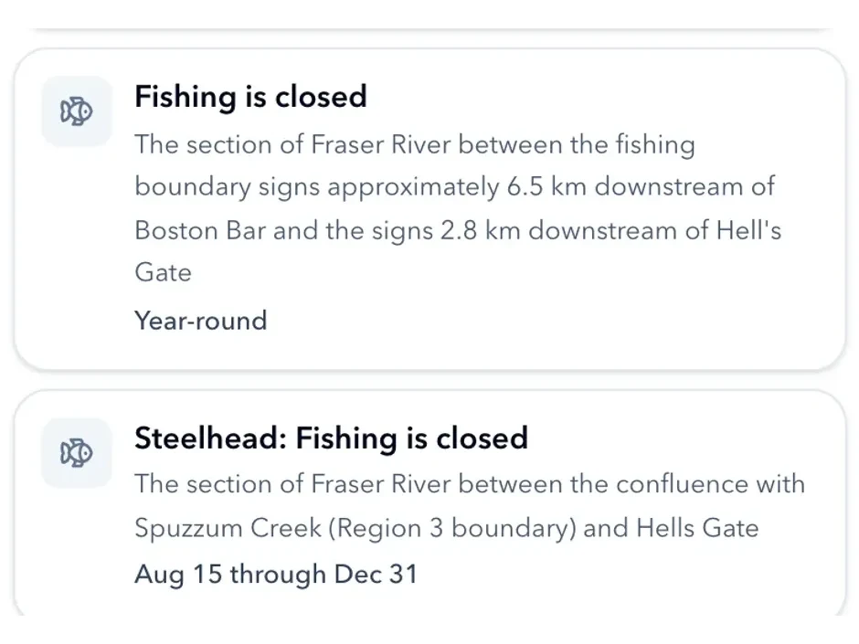
The Regulations
What applies today
Retention limits, gear restrictions and closures for the water and the date you picked, each card naming the stretch it covers.
-
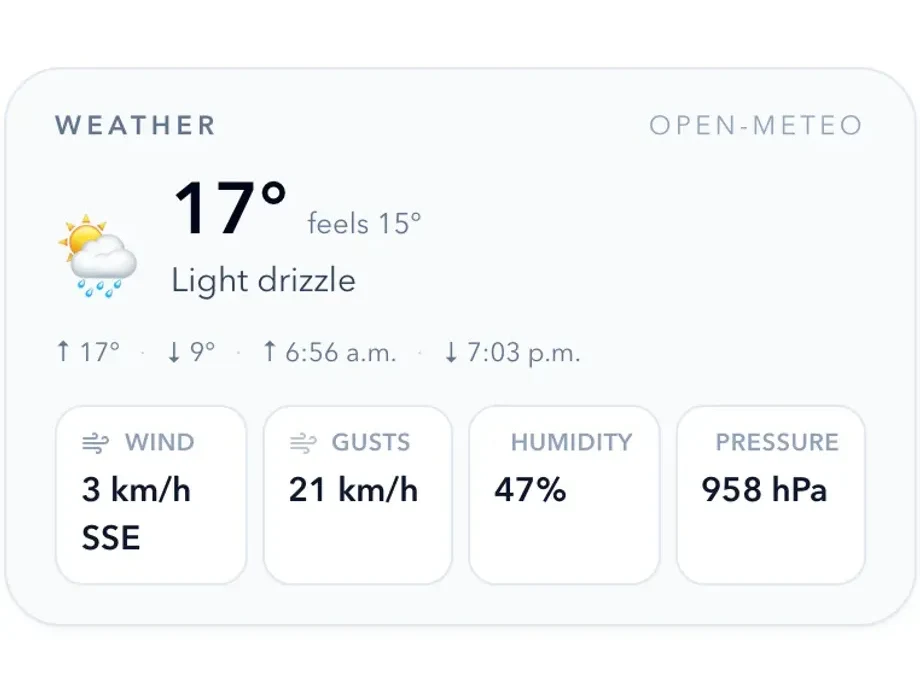
Conditions
Weather on the water itself
Temperature, wind, humidity and pressure for the water in front of you, beside its rules rather than in another app.
-
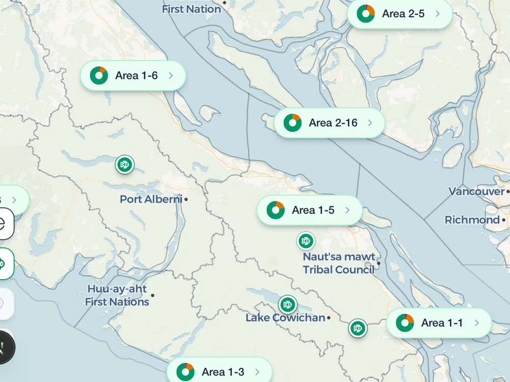
Catch Log
Every fish, and where you caught it
Each water lists what you have logged there, with the date, the size and whatever you wrote down. Switch the layer on and the whole log appears on the map, pinned where you made it.
-
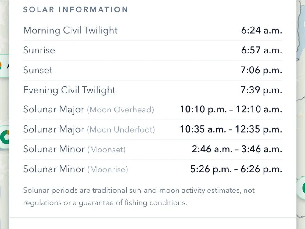
Info
First light to last light
Civil twilight both ends, sunrise and sunset, in the water's own timezone, because a province is not always one. The solunar periods come with Pro.
-
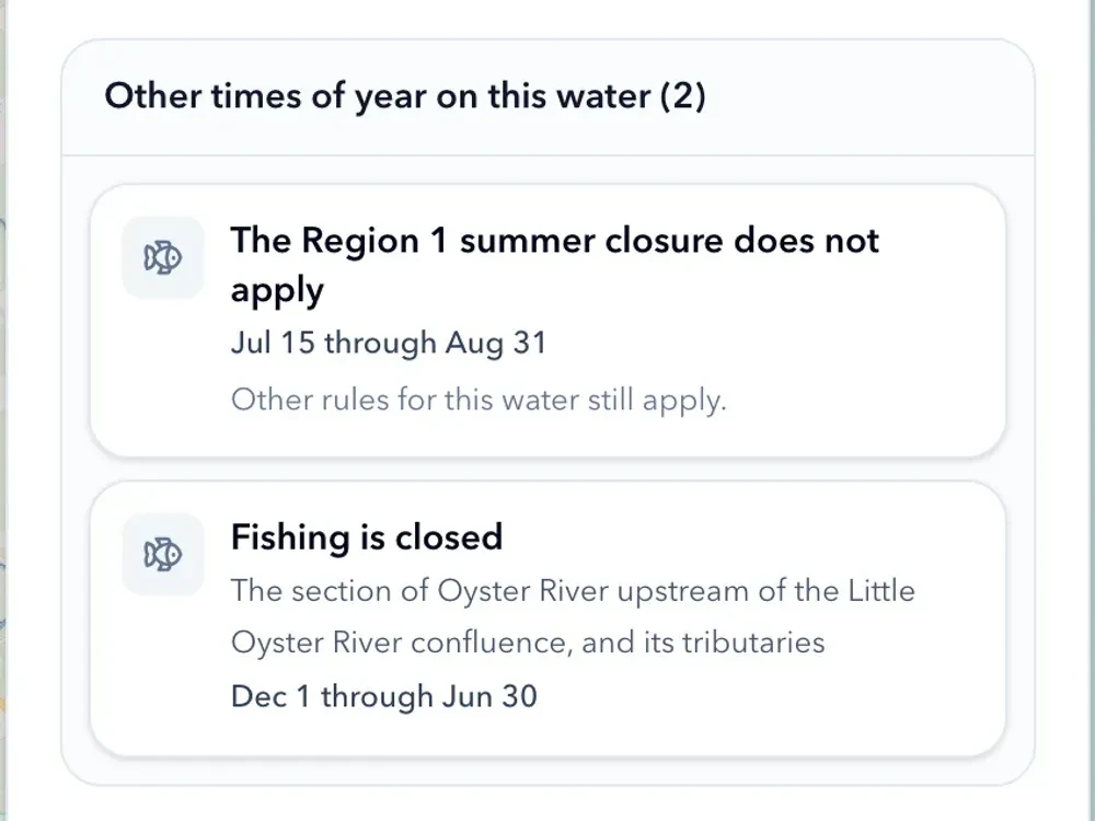
The date
Change the day, change the answer
Every rule is resolved for the date you picked, not for the season in general. What is out of season is listed separately with the dates it runs between, so a trip months away is as clear as today.
-
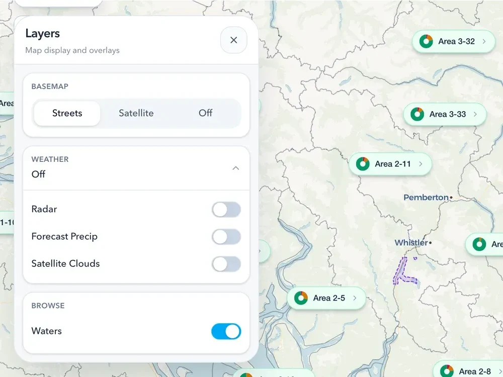
Map layers
Turn on what you need
Your catches, area badges, the frame around the water you picked and, with Pro, the weather - each one a switch in the Layers drawer.
-
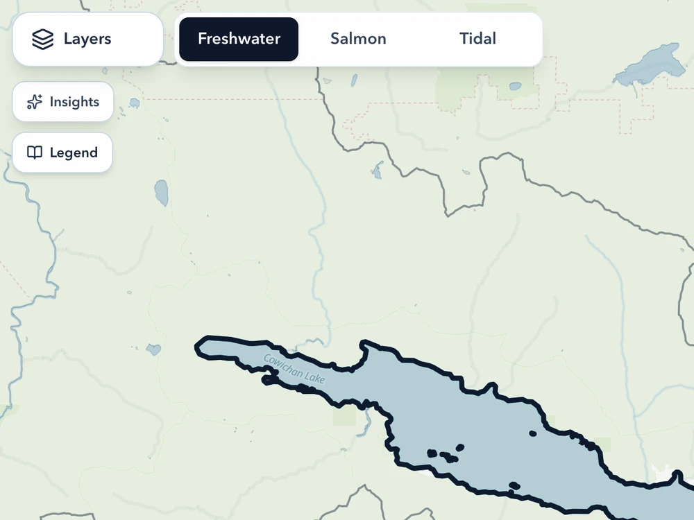
Fishery modes
Three fisheries, three maps
Switch between Freshwater, Salmon and Tidal and the map changes with you: management units and area badges for freshwater, the rivers and their fishery notices for salmon, management subareas and the Rockfish Conservation Areas for tidal. Each mode draws what that fishery is actually regulated by.
-
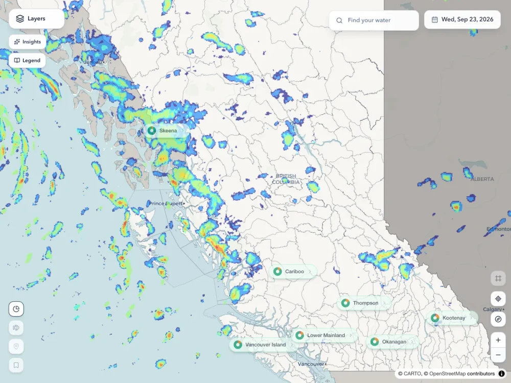
Radar and the Full Forecast · Pro
See the front coming
Live radar, satellite cloud and forecast precipitation drawn straight on the map, hour by hour, and the forecast past three days.
-
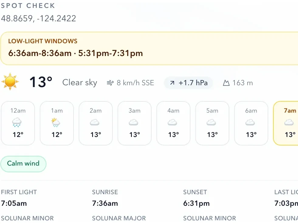
Spot Check · Pro
Conditions for a spot, not just a water
Tap anywhere on the map - a bay, a bend, a beach with no name - and get the low-light windows, pressure trend, wind, cloud and solunar periods for that exact point.
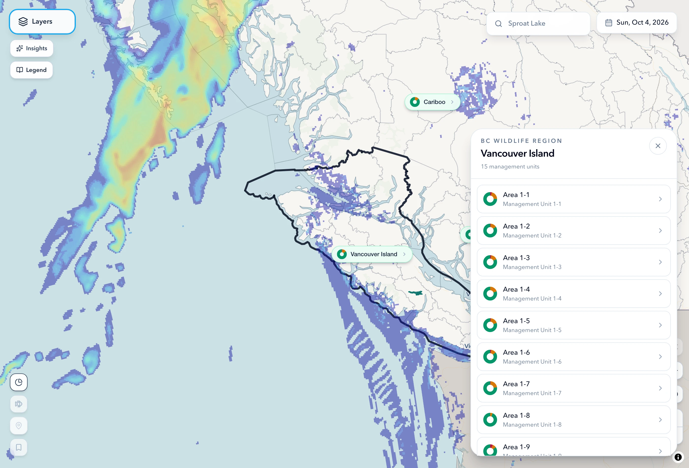
Every province and territory. BC's regulations, water by water.
160,062 rivers and lakes, in every province and territory. Across British Columbia every water is colour-coded by how it stands that day and searchable by name; everywhere else in Canada the water is drawn, named and tappable, and tells you which province it is in.
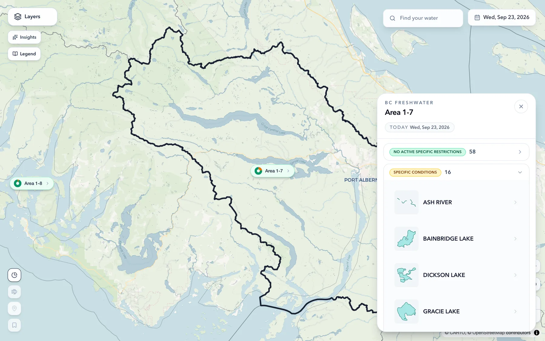
Dozens of waters, read in one glance.
Every fishing area on the map carries a ring showing how many of its waters have their own specific rules that day. With Pro, Area Scan opens the full list inside, grouped the same way, including the waters that only flow through.
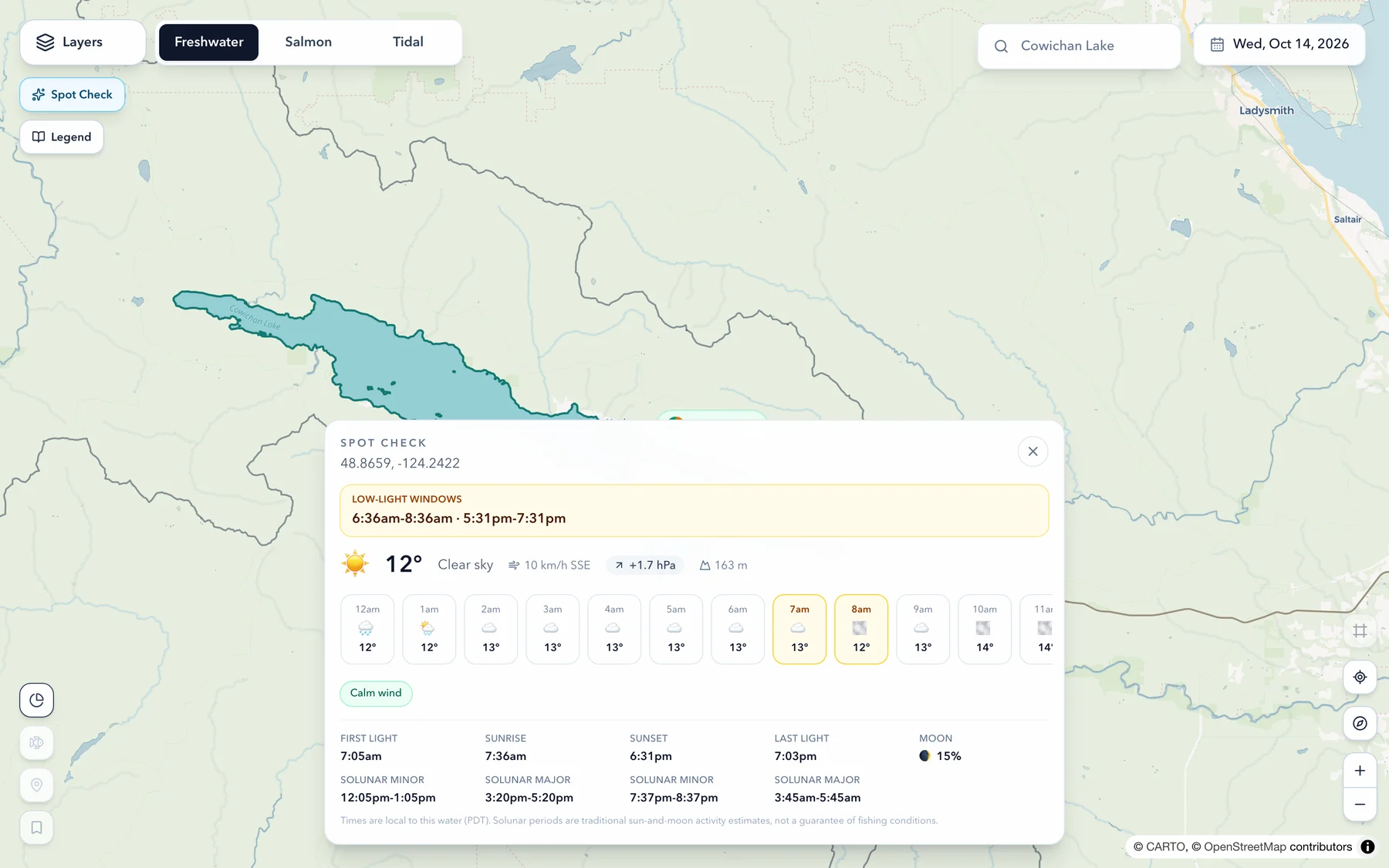
Conditions for anywhere you can tap.
Not every spot is a named water. With Pro, tap any point on the map and you'll get the low-light windows around sunrise and sunset, the pressure trend, wind, cloud, elevation and the solunar periods - for exactly where you tapped.
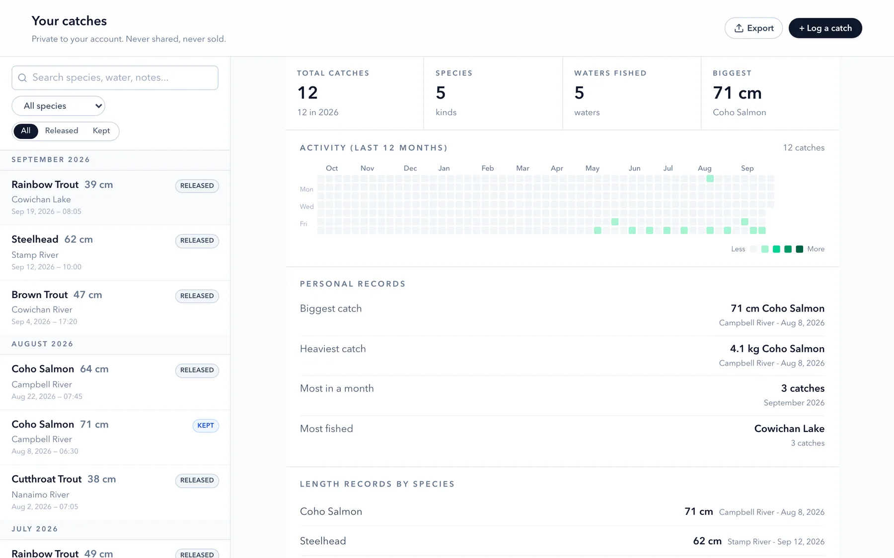
Your best water, your best month, your biggest fish.
Length, weight, species, water, conditions, notes. Log as much as you like on any plan, with CSV export whenever you want your data out. Your Year of Fishing, with Pro, adds what the log adds up to: personal bests, your longest of each species, your top waters, and a year of activity in one chart. Private to your account, never sold.
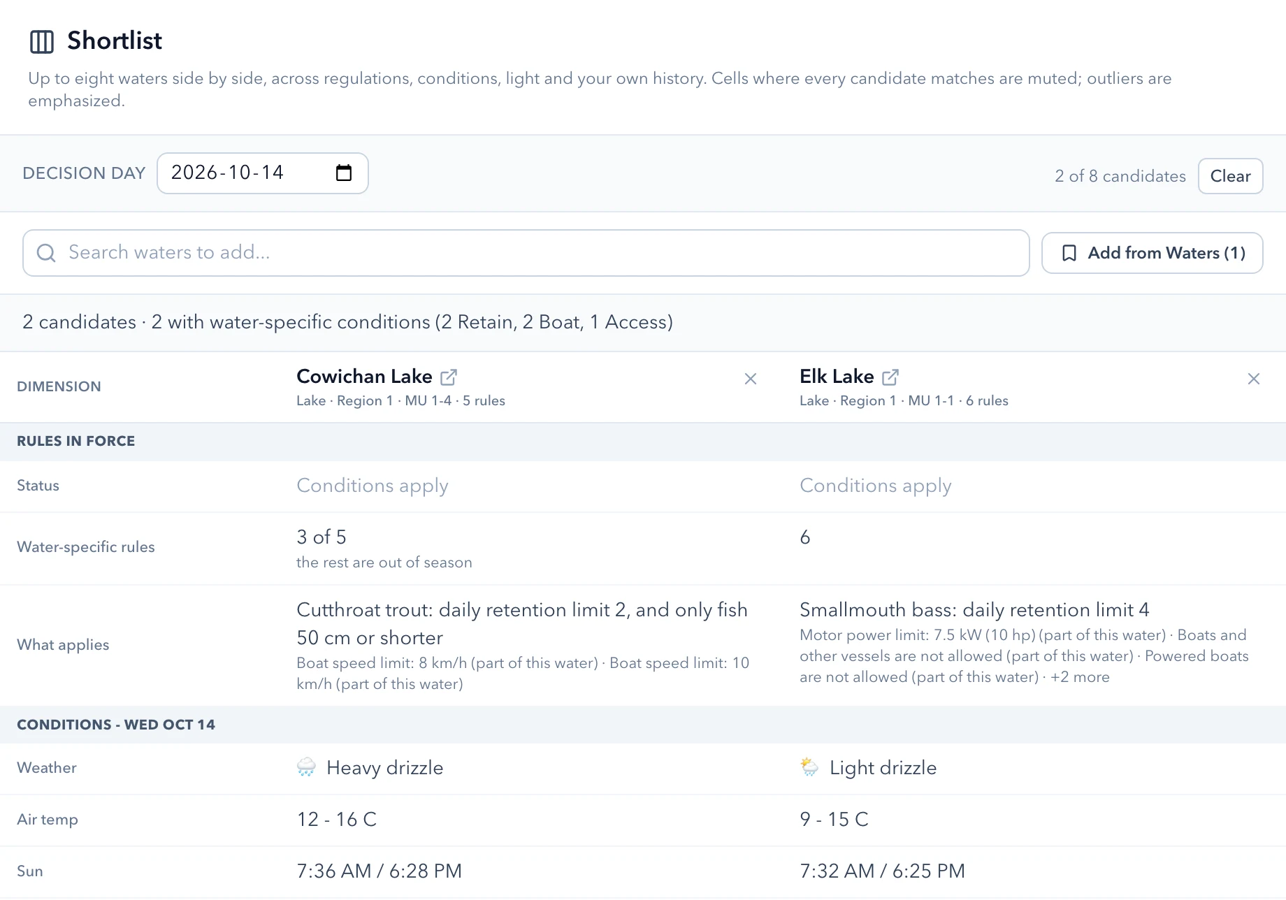
Line up your Shortlist and see what separates them.
Put two waters side by side for a day you choose and see what applies on each. Rows where every water matches go quiet so the differences are what you see. Pro holds up to eight, and adds what the weather is doing, when the low light falls, how high they sit, and how each has fished for you before.
Your waters
Follow your waters, and know when they change.
Free keeps the list and tells you when the rules on it change. Pro works across all of it.
-
Follow and Pin · Rule Watch
Every water you fish, a tap away
Follow every water you fish and pin every launch and shoreline mark, with no limits on Free. Rule Watch tells you in the app when a water you follow gets a rule change or an in-season closure.
-
Today on Your Waters · Pro
What's in effect, and what's next
Every water you follow in one view: notices in effect first, then rules and salmon seasons starting or ending in the next two weeks.
-
Notice Board · Pro
In-season notices, on every water
In-season closures and notices across all waters, not just the ones you follow.